Log in
All resources
Create a design
33,167 Free Images of 1552 Maps
atlas of the russian empire (1800)
atlante veneto (raremaps.com) volume 2
atlante veneto (raremaps.com) volume 1
atlas beudeker
bibliothèque municipale de reims
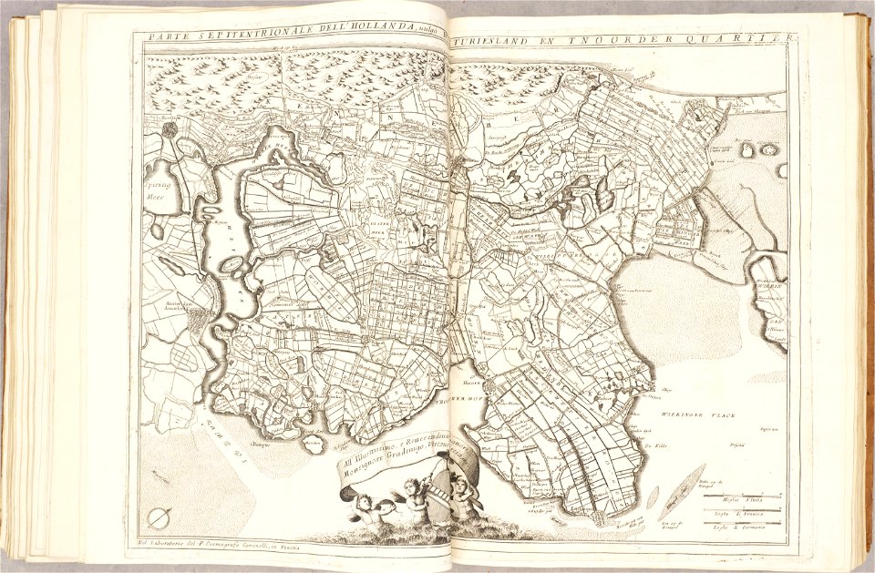
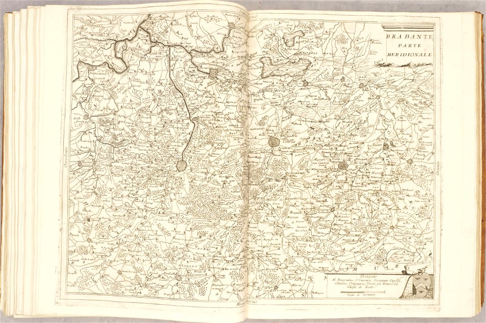
1690s maps of the netherlands
rès. g 153
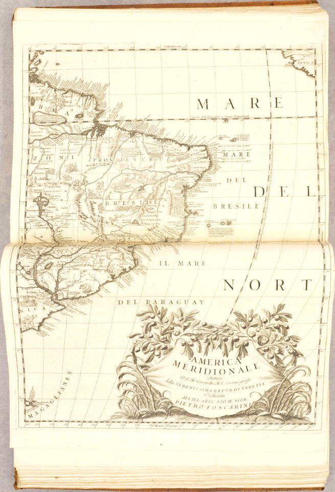
old maps of south america
18th-century maps of lombardy
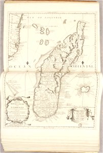
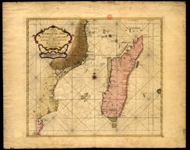
17th-century maps of madagascar
bibliothèque municipale de reims
rès. g 153
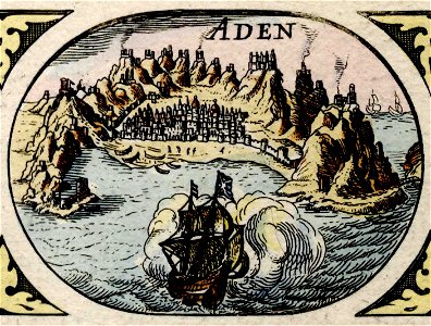
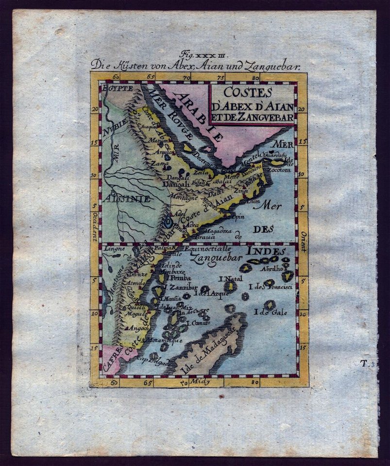
historical images of aden
asia noviter delineata
atlante veneto (raremaps.com) volume 1
old maps of south america
atlante veneto (raremaps.com) volume 1
old maps of mediterranean sea
atlante veneto (raremaps.com) volume 1
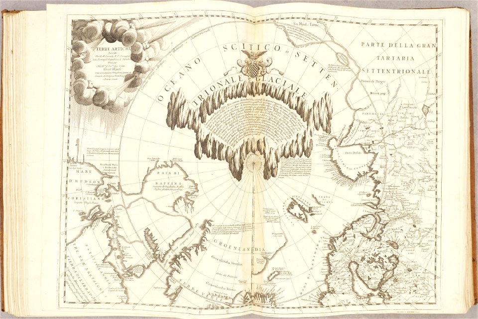
maps of the arctic ocean
atlante veneto (raremaps.com) volume 1
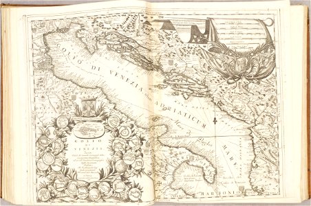
maps of the adriatic sea
atlante veneto (raremaps.com) volume 2
18th-century maps of lombardy
atlante veneto (raremaps.com) volume 2
1690s maps of the netherlands
atlante veneto (raremaps.com) volume 2
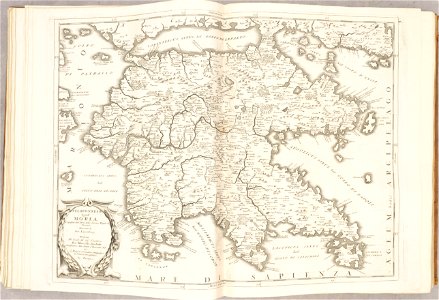
old maps of the peloponnese
atlante veneto (raremaps.com) volume 2
18th-century maps of lombardy
atlante veneto (raremaps.com) volume 2
1690s maps of the netherlands
atlante veneto (raremaps.com) volume 2
1690s maps of the netherlands
atlante veneto (raremaps.com) volume 2
1690s maps of the netherlands
atlante veneto (raremaps.com) volume 2
historical maps of mughal empire
atlante veneto (raremaps.com) volume 2
17th-century maps of madagascar
rhaetiae et valesiae
merian helvetiae
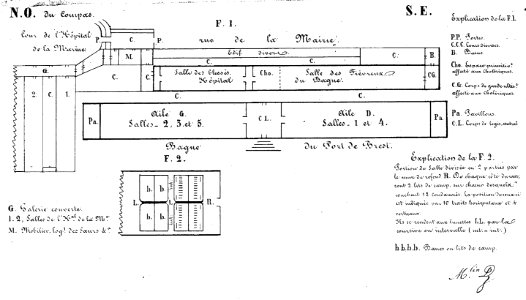
bagne de brest
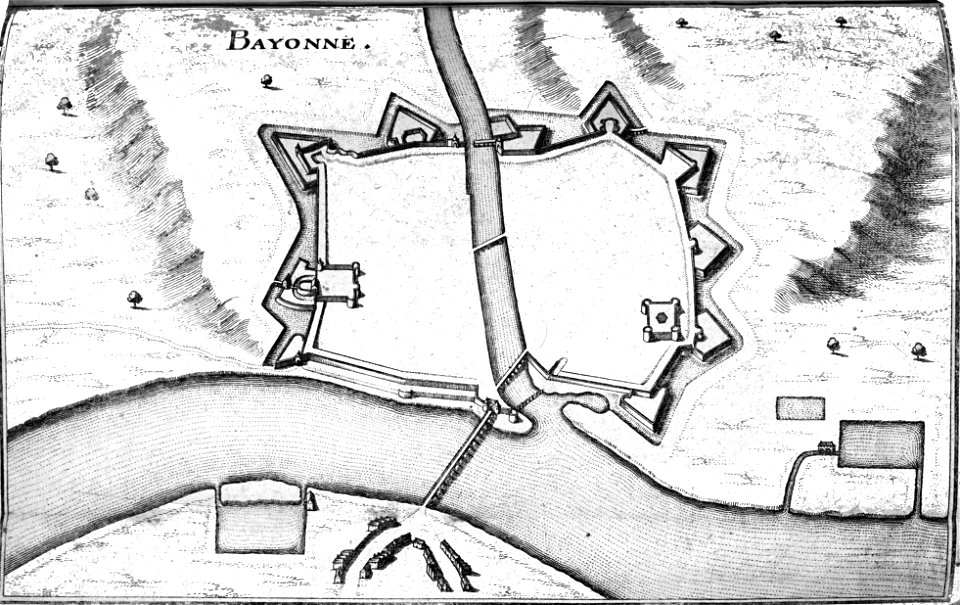
france
old maps of istanbul
hartmann schedel
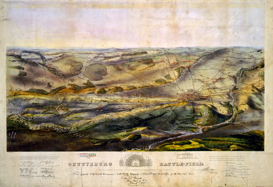
gettysburg battlefield
endicott & co.
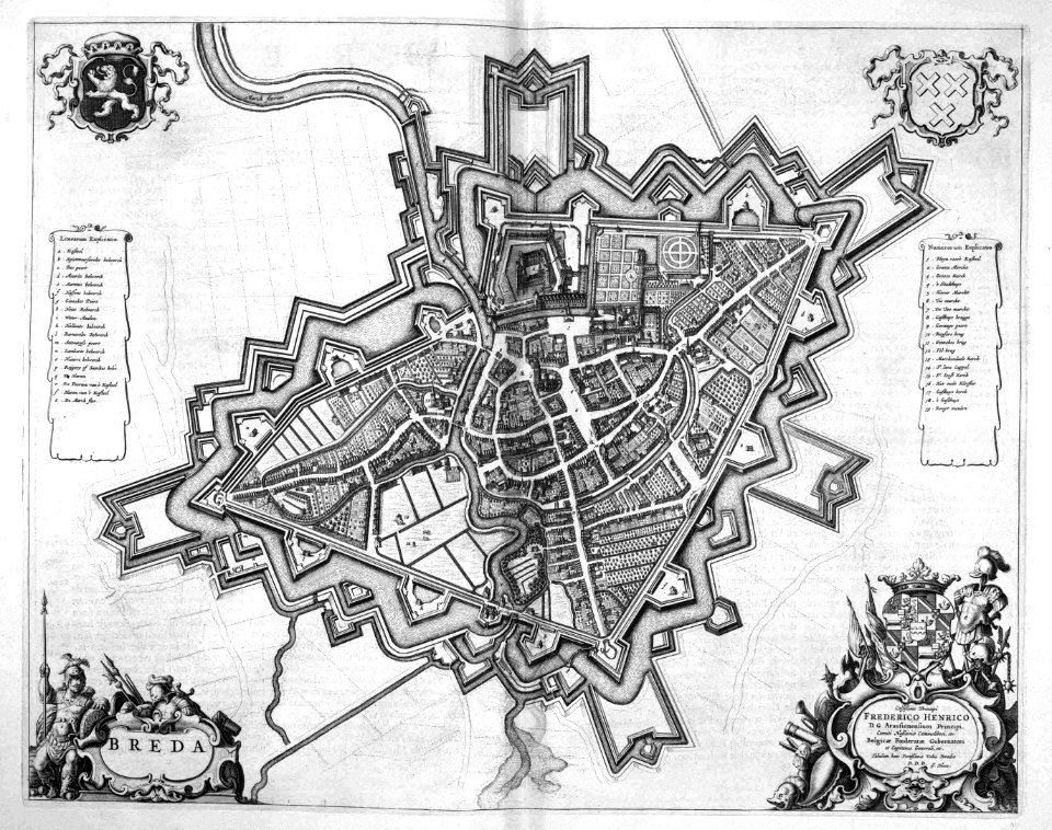
old maps of breda
atlas beudeker
old maps of breda
atlas beudeker
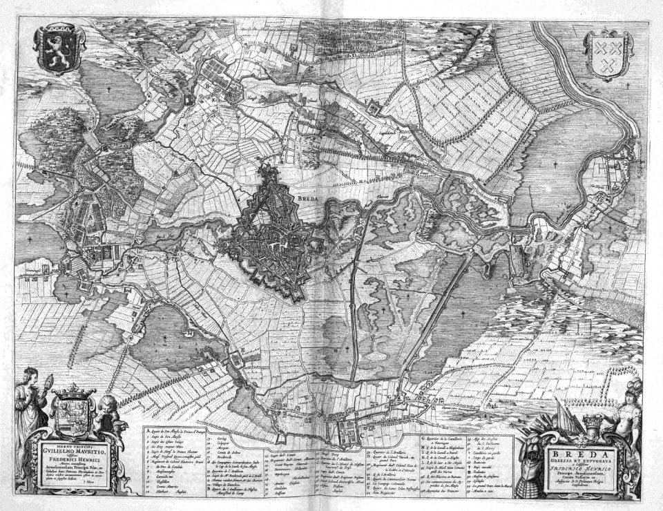
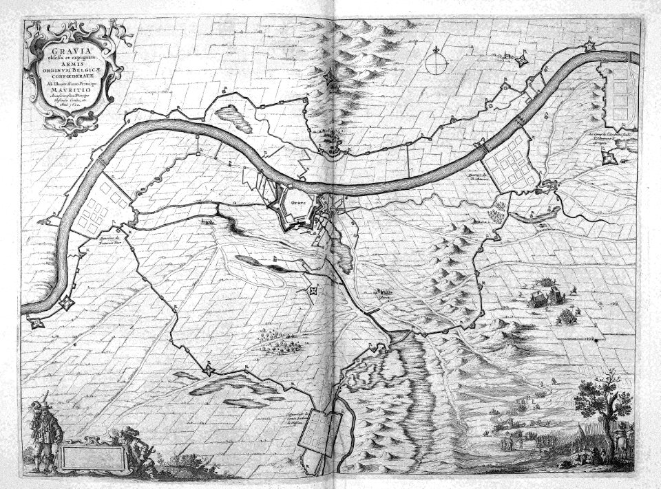
siege of grave 1602
netherlands
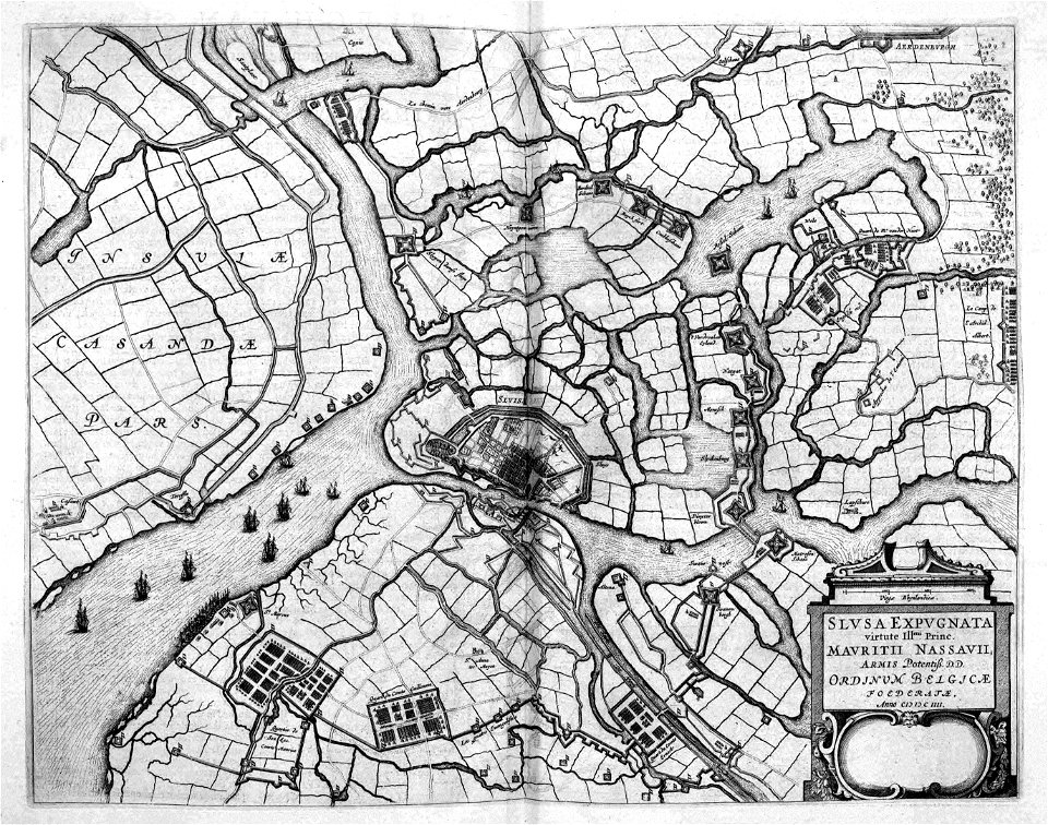
siege of sluis 1604
atlas beudeker
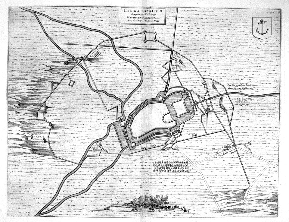
maps of lingen (ems)
atlas beudeker
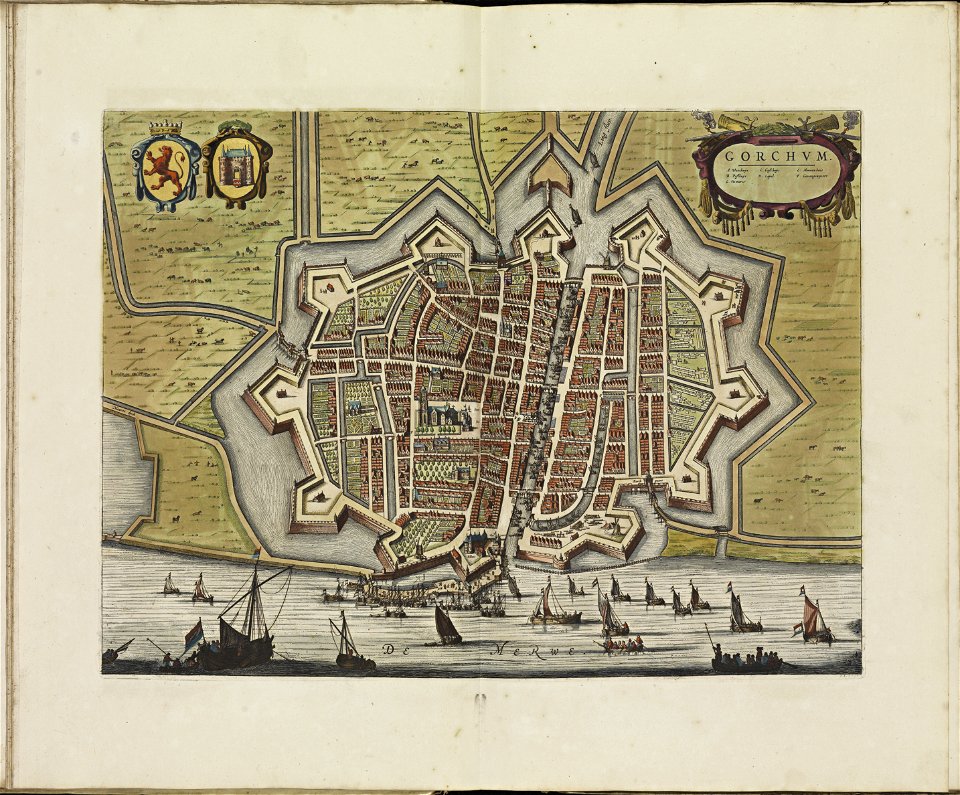
old maps of gorinchem
atlas de wit 1698
johannes van keulen
copper engraving
atlante veneto (raremaps.com) volume 1
old maps of the danube
atlante veneto (raremaps.com) volume 1
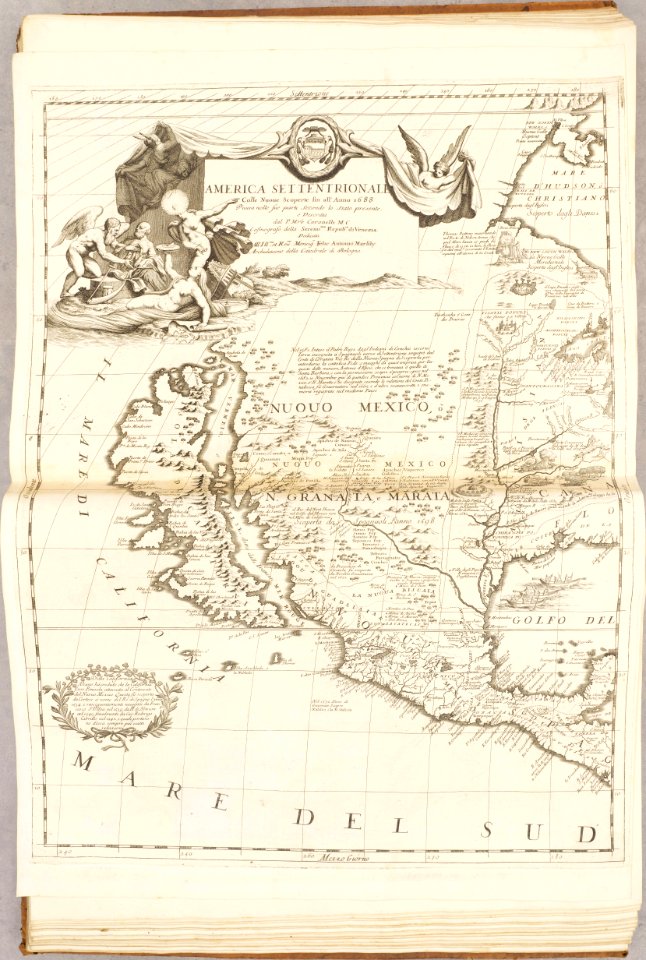
old maps of north america
atlante veneto (raremaps.com) volume 1
old maps of south america
atlante veneto (raremaps.com) volume 1
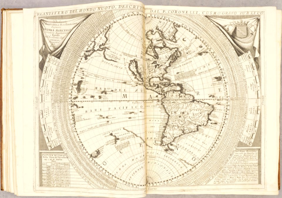
old maps of the americas
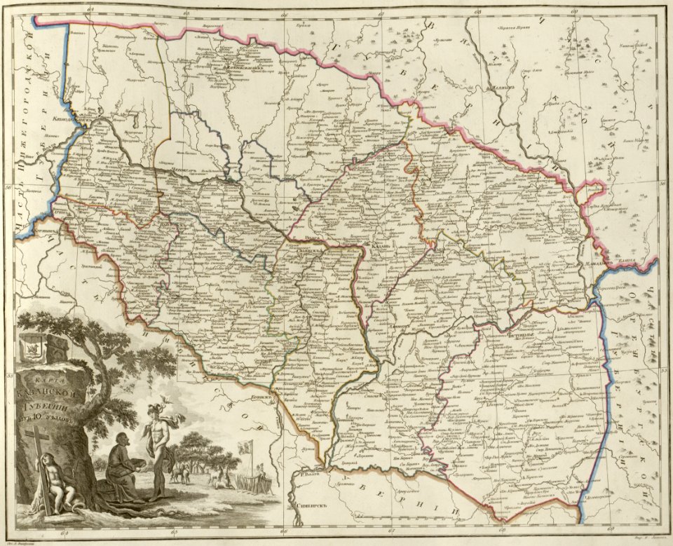
atlas of the russian empire (1800)
maps of kazan governorate
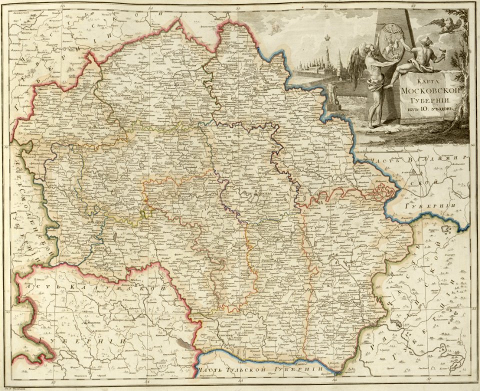
atlas of the russian empire (1800)
maps of moscow governorate
atlas of the russian empire (1800)
maps of pskov governorate
atlas of the russian empire (1800)
maps of vyatka governorate
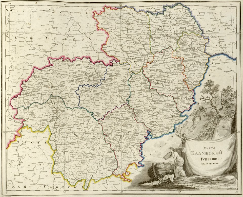
atlas of the russian empire (1800)
maps of kaluga governorate
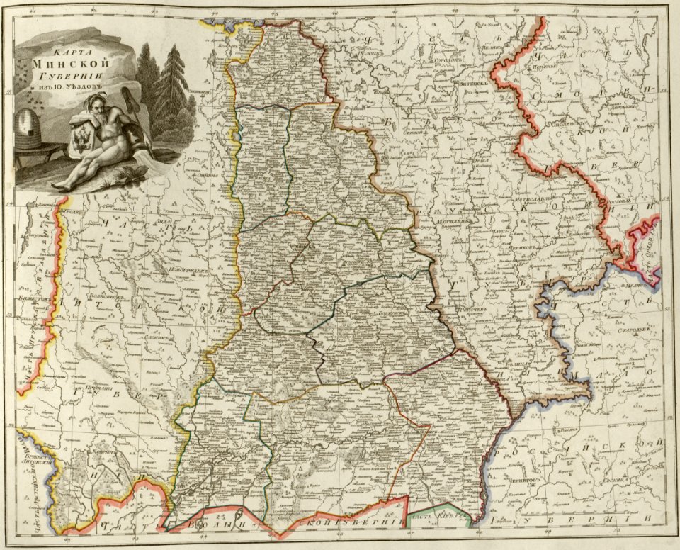
atlas of the russian empire (1800)
maps of minsk governorate
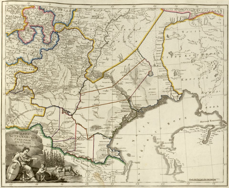
atlas of the russian empire (1800)
maps of astrakhan governorate
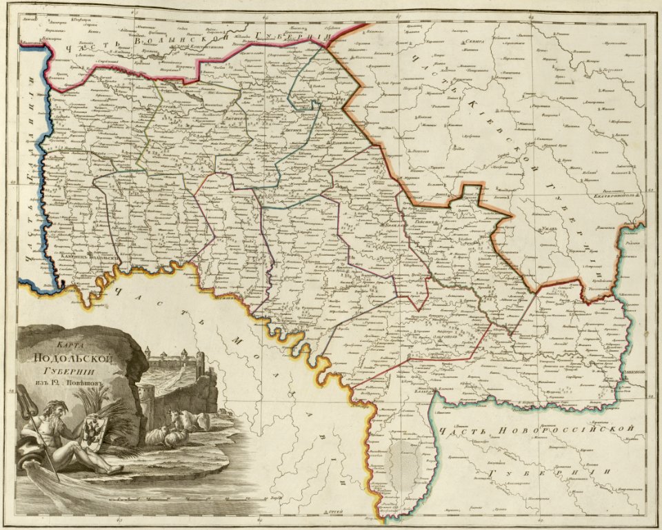
atlas of the russian empire (1800)
maps of podolia governorate
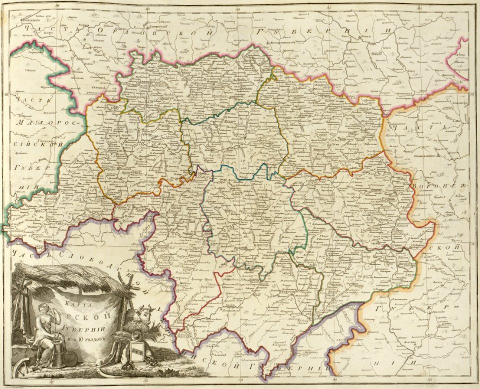
atlas of the russian empire (1800)
maps of kursk governorate
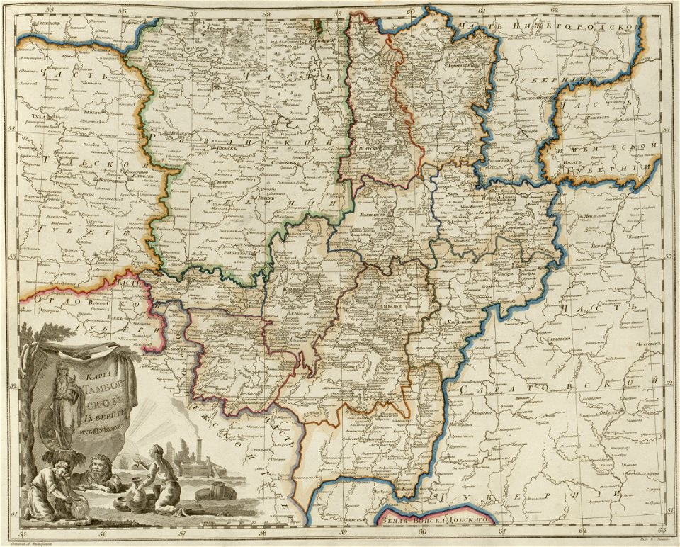
atlas of the russian empire (1800)
maps of tambov governorate
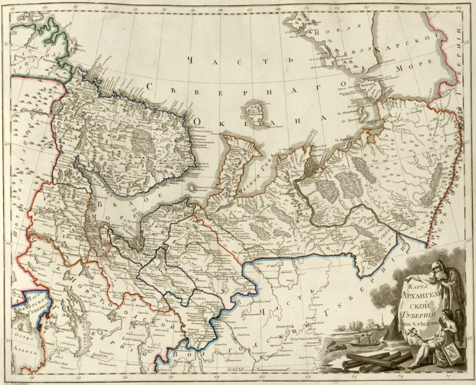
atlas of the russian empire (1800)
maps of arkhangelsk governorate
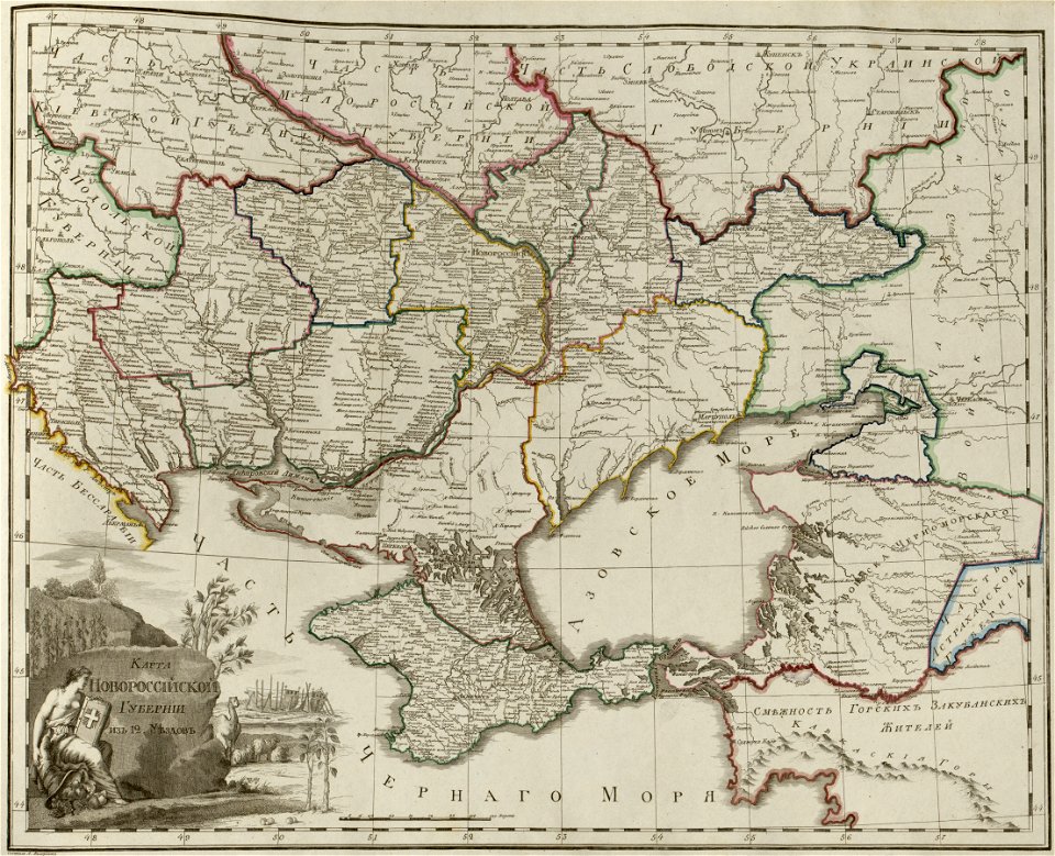
atlas of the russian empire (1800)
maps of novorossia governorate
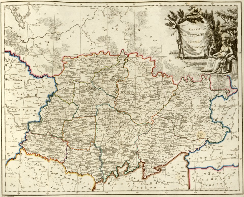
atlas of the russian empire (1800)
maps of kostroma governorate
atlas of the russian empire (1800)
maps of saratov governorate
atlas of the russian empire (1800)
maps of estlandia governorate
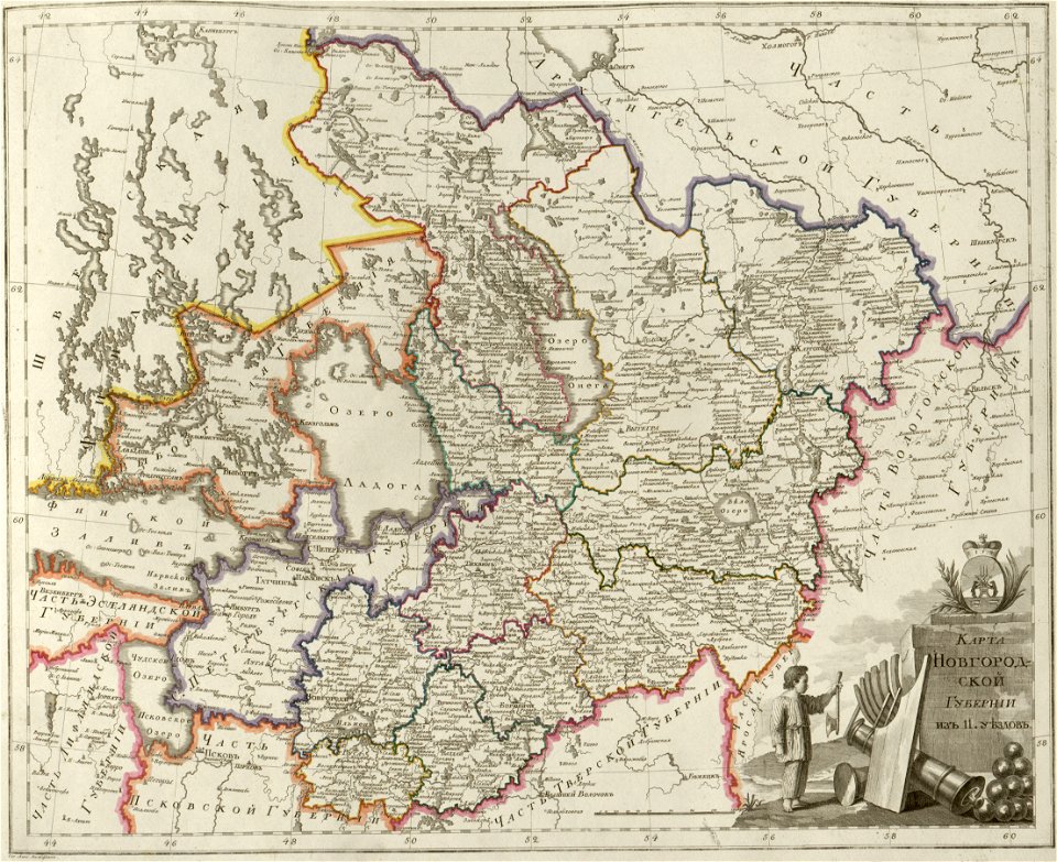
atlas of the russian empire (1800)
maps of novgorod governorate
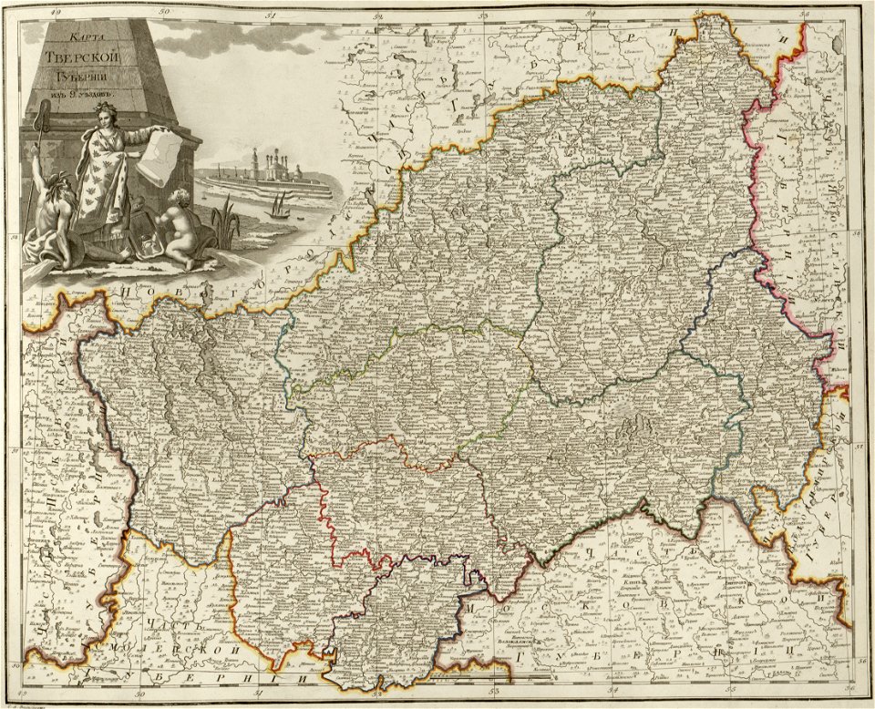
atlas of the russian empire (1800)
maps of tver governorate
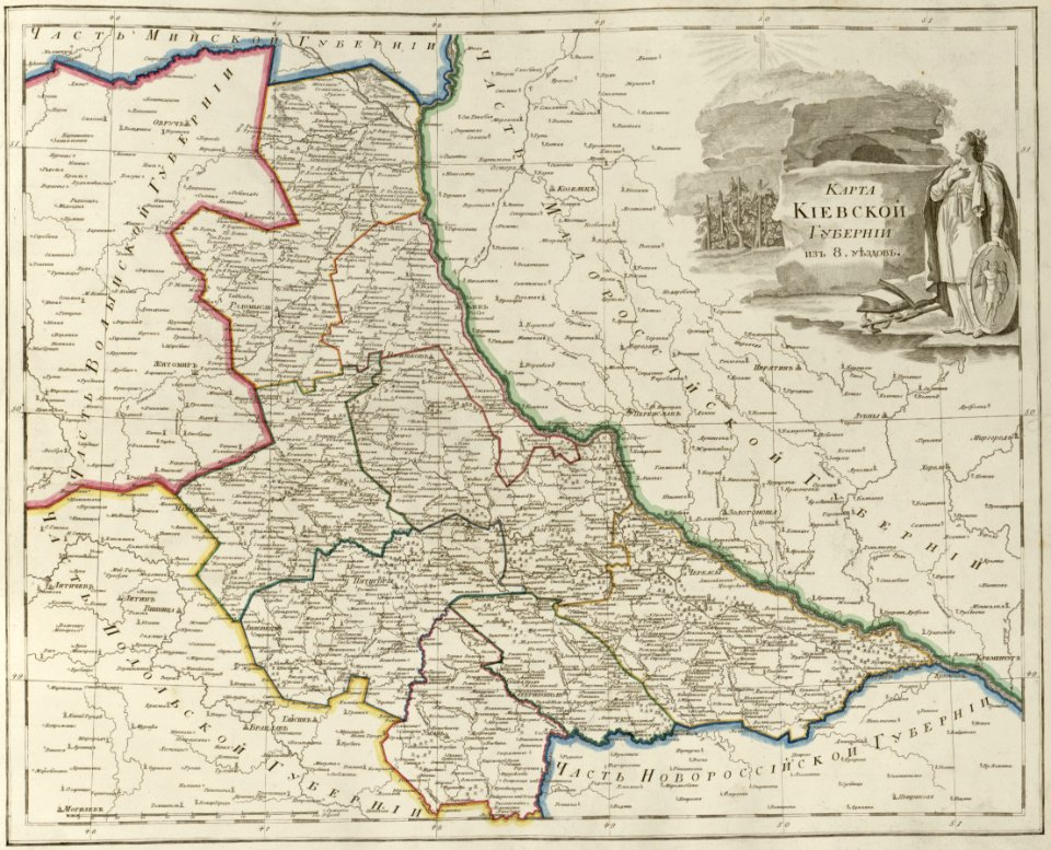
atlas of the russian empire (1800)
maps of kiev governorate
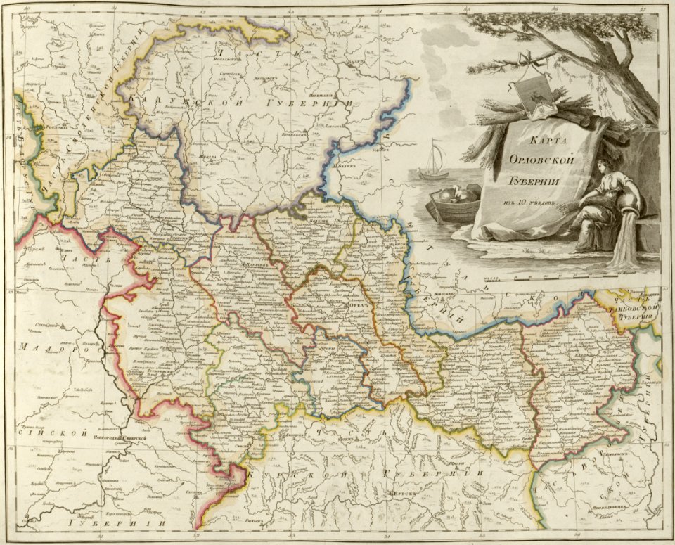
atlas of the russian empire (1800)
maps of oryol governorate
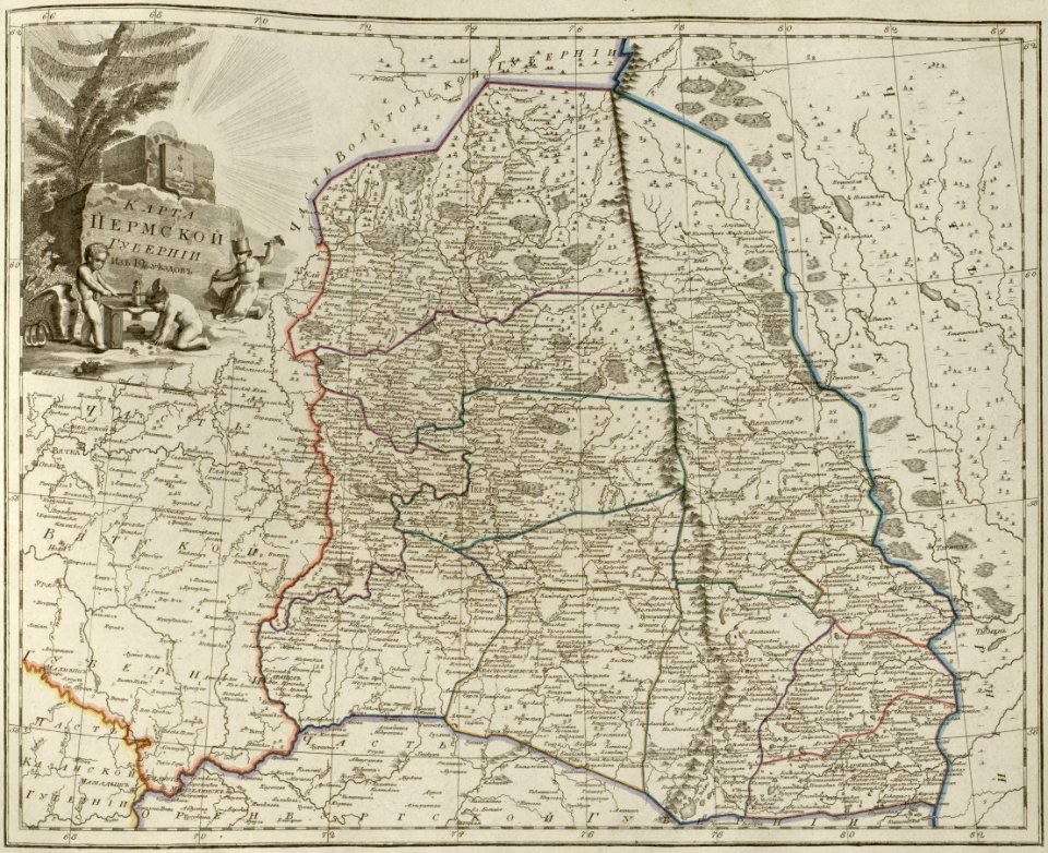
atlas of the russian empire (1800)
maps of perm governorate
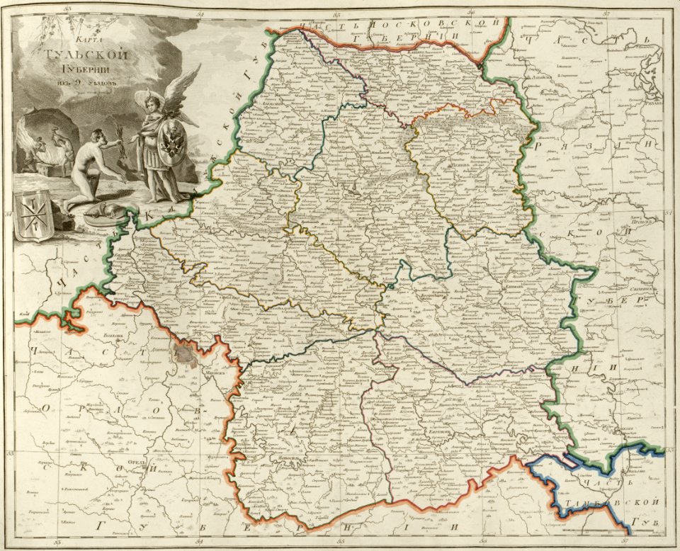
atlas of the russian empire (1800)
maps of tula governorate
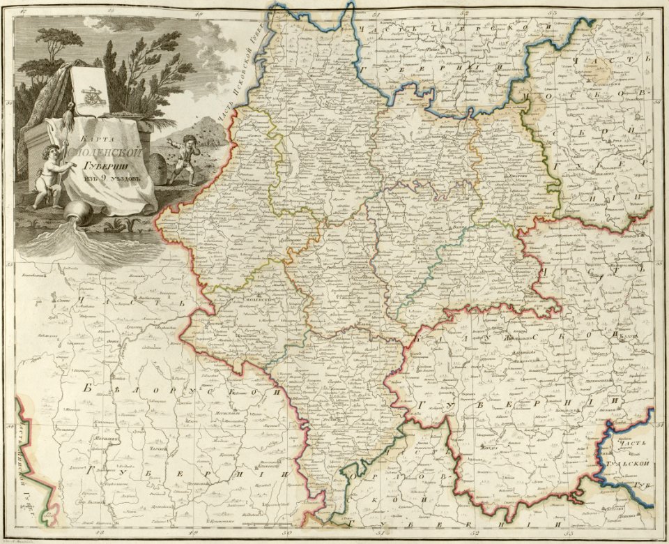
atlas of the russian empire (1800)
maps of smolensk governorate
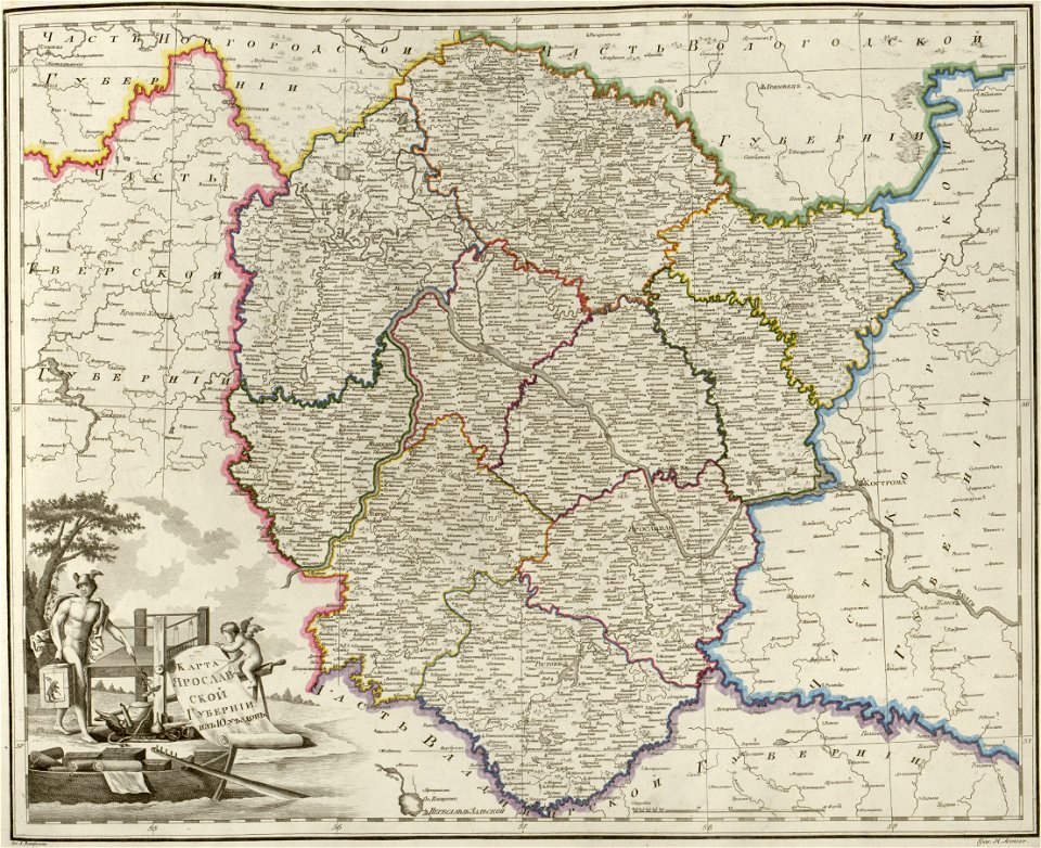
atlas of the russian empire (1800)
maps of yaroslavl governorate
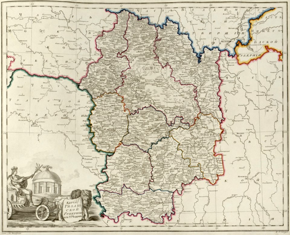
atlas of the russian empire (1800)
maps of ryazan governorate
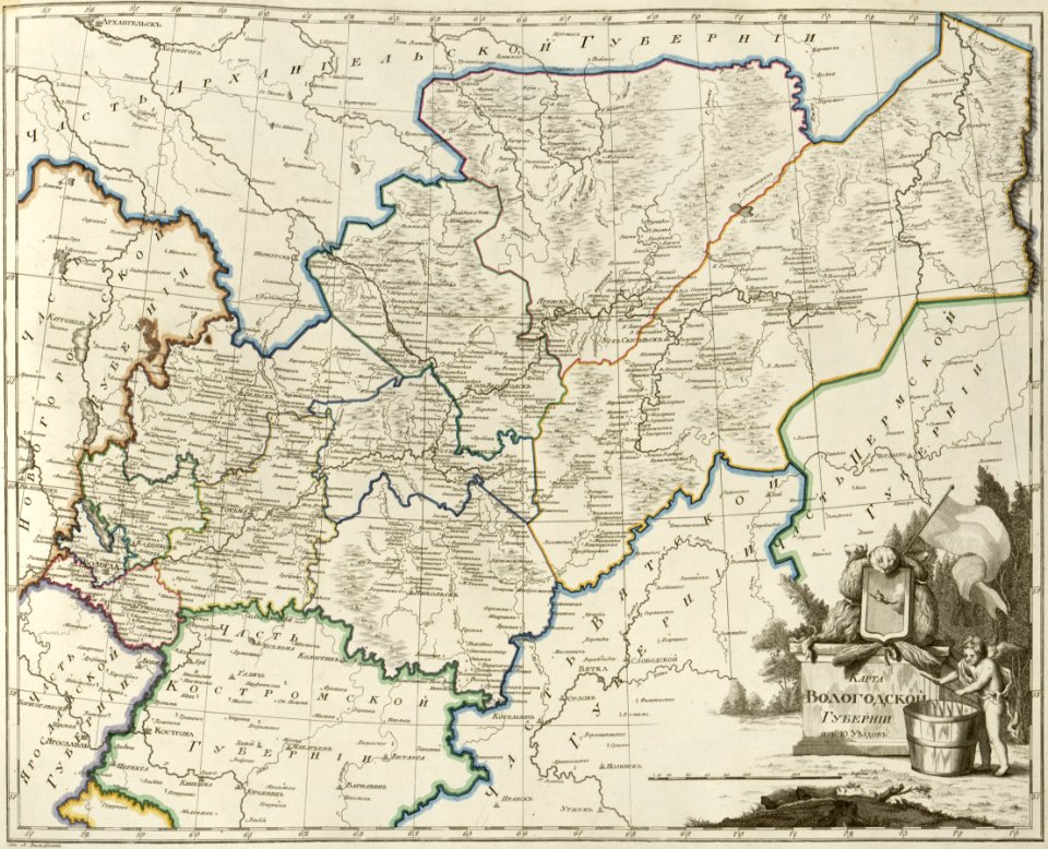
atlas of the russian empire (1800)
maps of vologda governorate
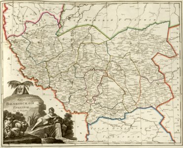
atlas of the russian empire (1800)
maps of volyn governorate
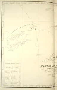
maps of the south orkney islands
voyage au pôle sud
maps of the south shetland islands
voyage au pôle sud
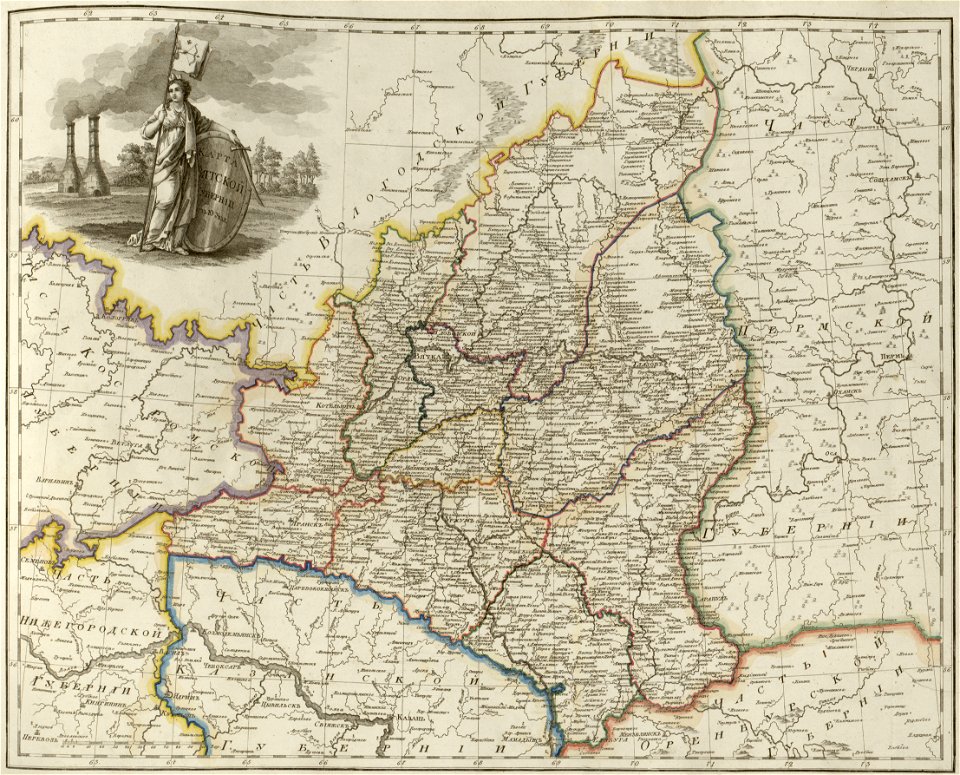
atlas of the russian empire (1800)
maps of wyborg governorate
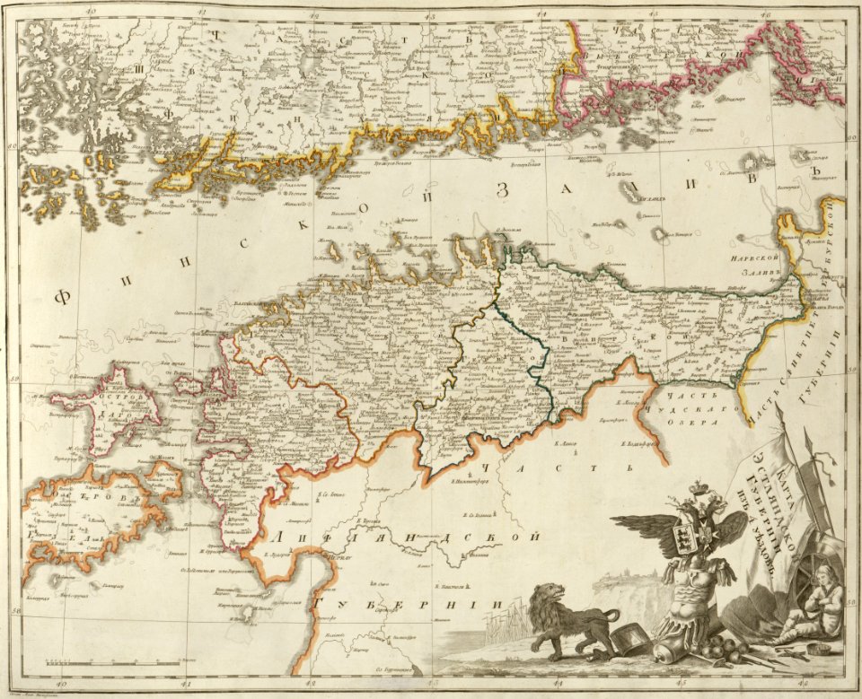
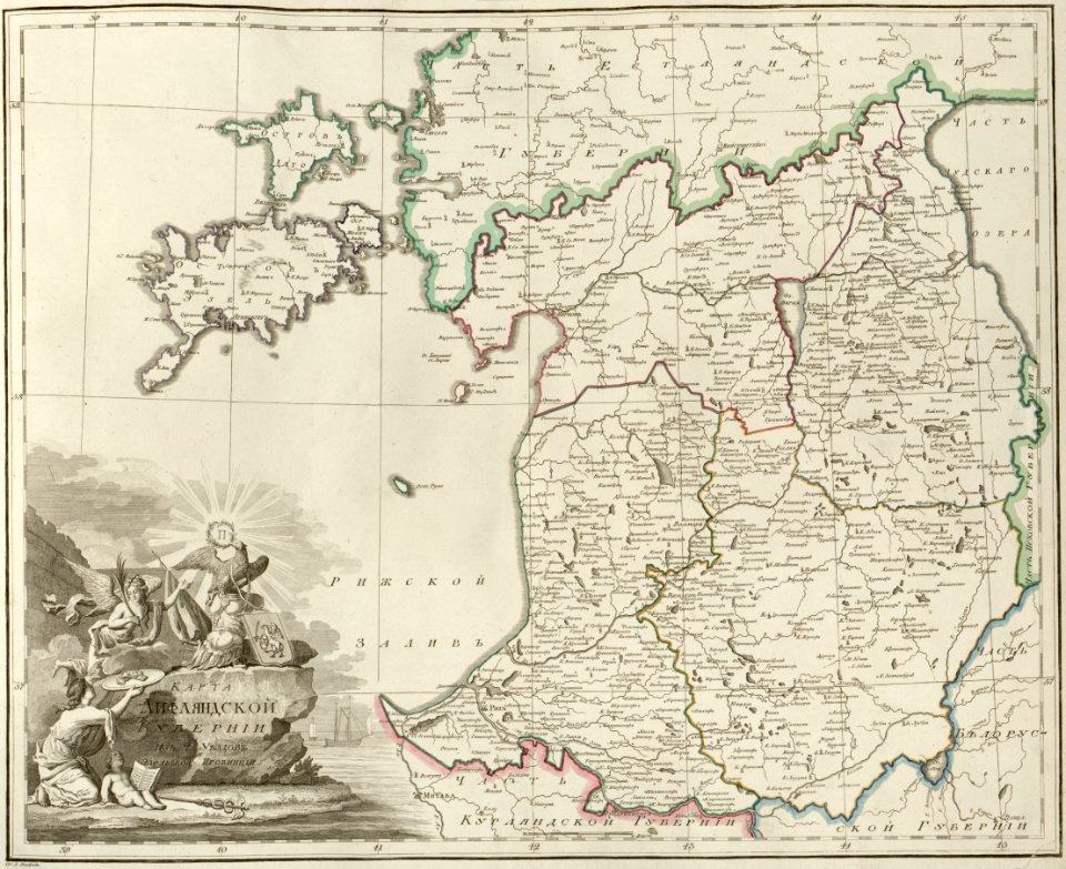
atlas of the russian empire (1800)
maps of liflandia governorate
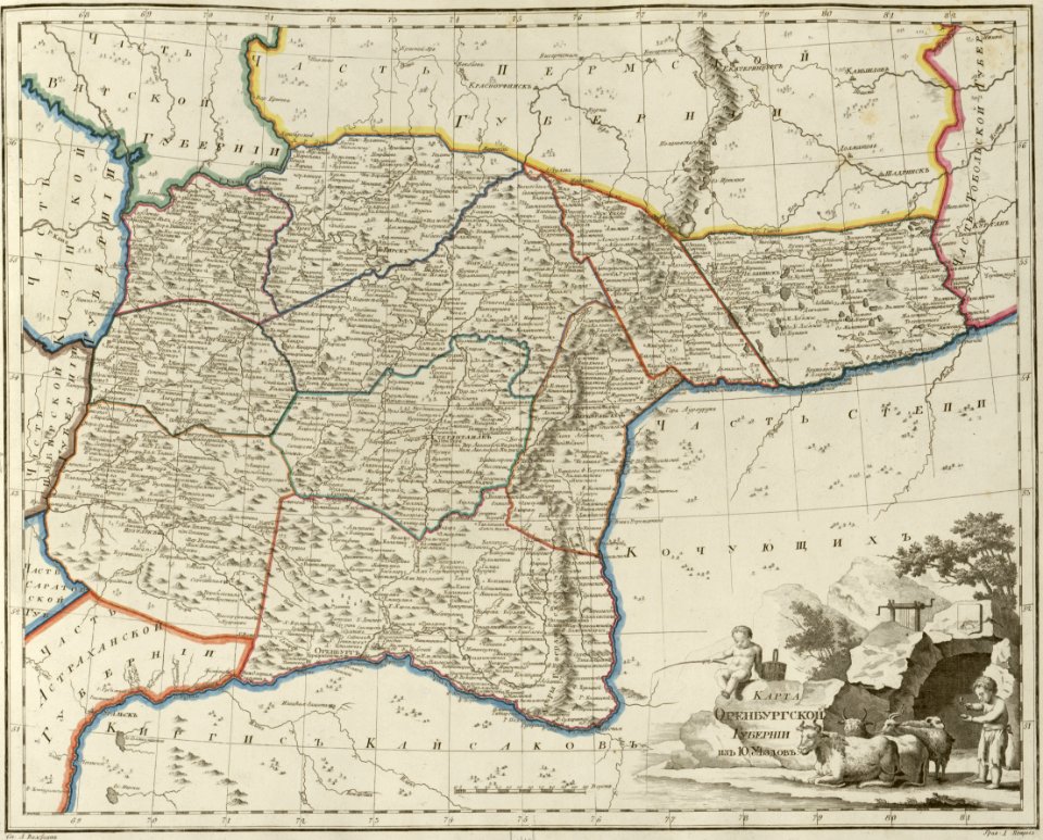
atlas of the russian empire (1800)
maps of orenburg governorate
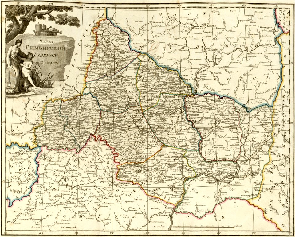
atlas of the russian empire (1800)
maps of simbirsk governorate
atlas of the russian empire (1800)
maps of vladimir governorate
maps by gerardus mercator
auriga in art
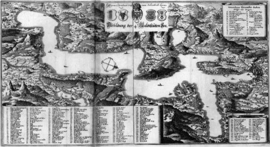
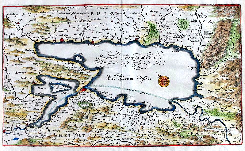
naval war on lake constance
old maps of lake constance
charts and maps of the royal museums greenwich
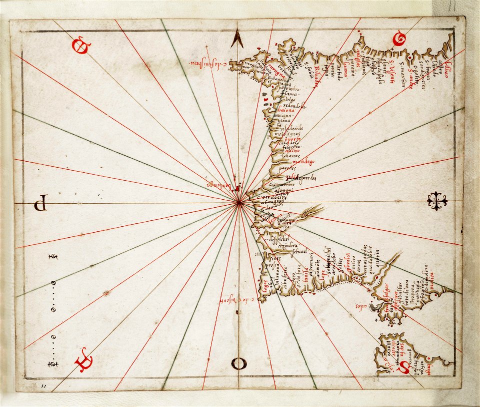
joan martines
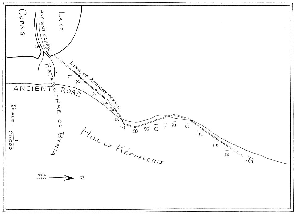
popular science monthly illustrations/volume 48
1896 maps
bibliothèque municipale de reims
rès. g 153
prints from the peace palace library
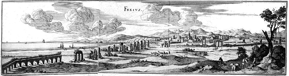
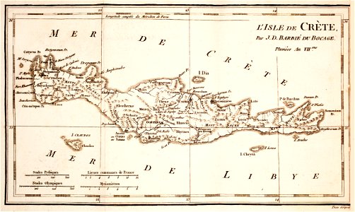
old maps of crete
semnopithecus
colobus
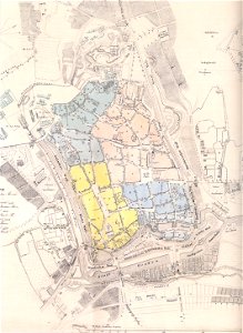
history of hanau
maps of hanau
gorilla
pongo
history of sanssouci
maps of potsdam
historical maps of lüneburg
stadtarchiv lüneburg
history of weingarten (württemberg)
maps by wenzel hollar
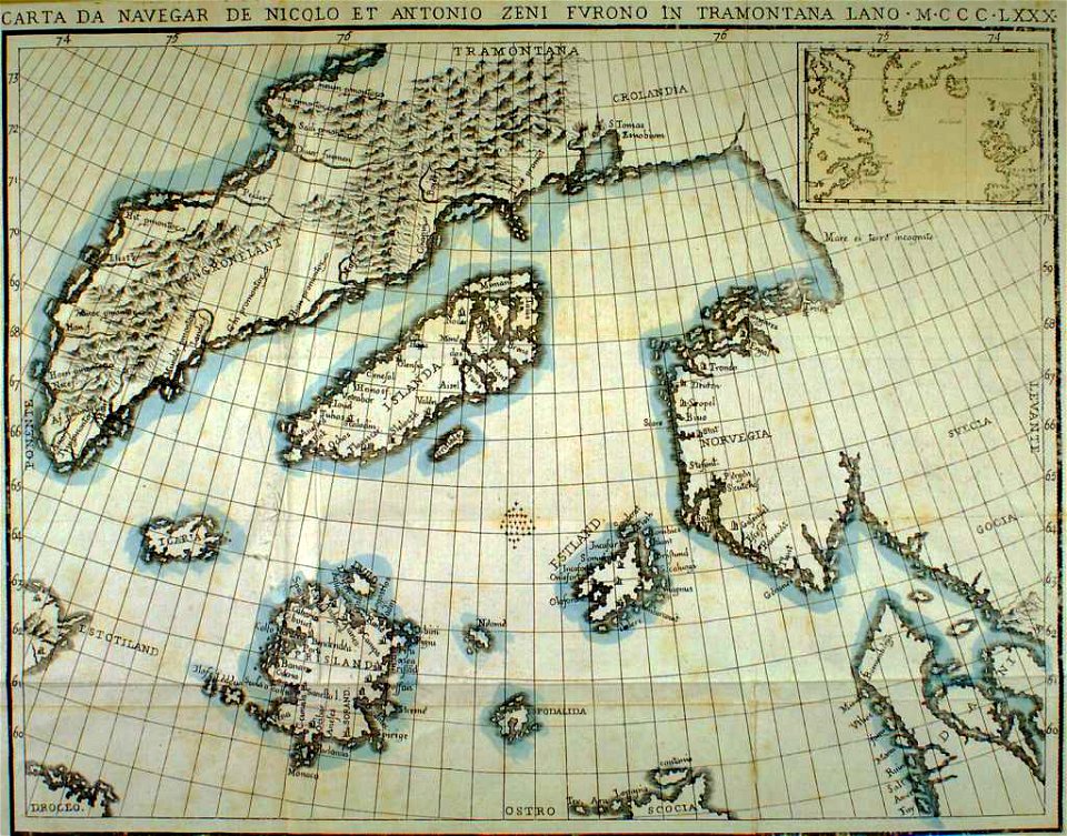
provided by landsbókasafn íslands
maps made in the 19th century
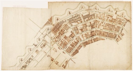
amsterdam in the 1680s
old maps of amsterdam
atlante veneto (raremaps.com) volume 2
17th-century maps of hispaniola
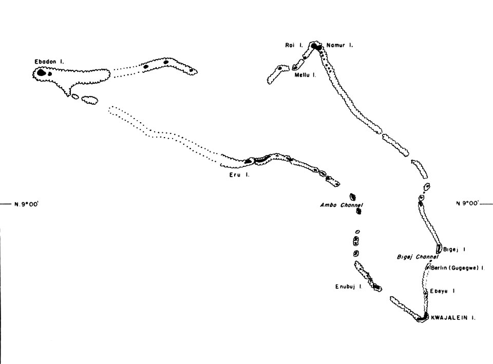
kwajalein atoll during world war ii
maps of kwajalein atoll
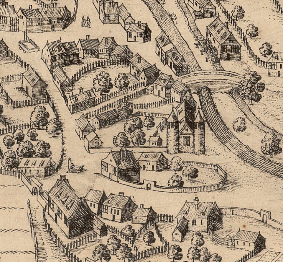
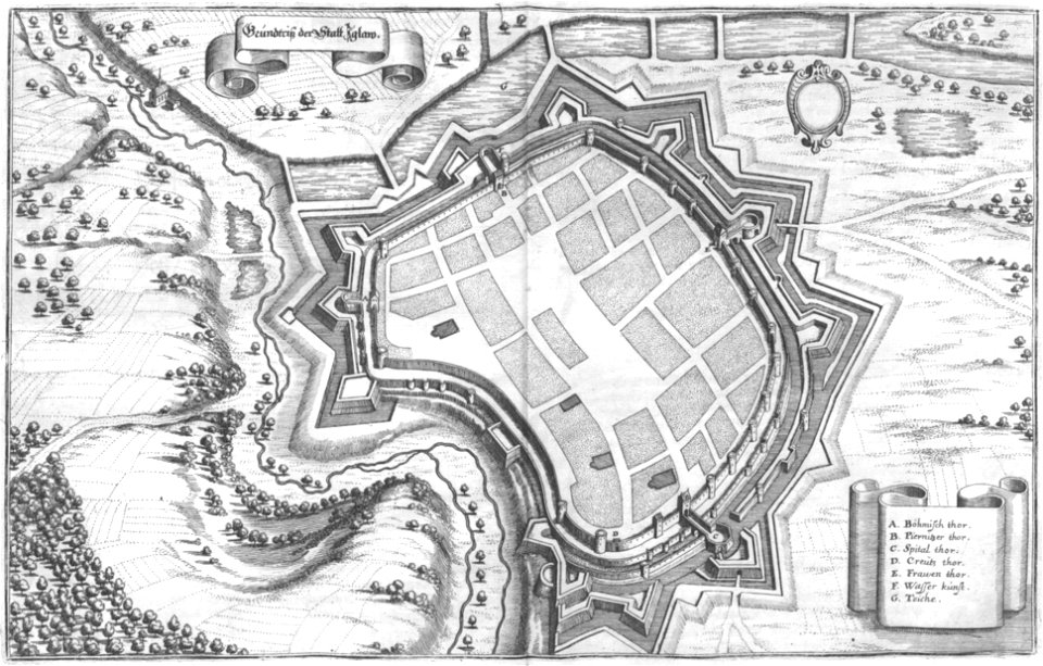
engravings of topographia bohemiae moraviae et silesiae
maps of jihlava
relation of a journey (sandys)
17th-century maps of jerusalem
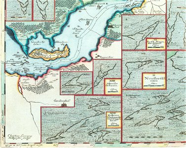
schlei
arni
images from the new student's reference work
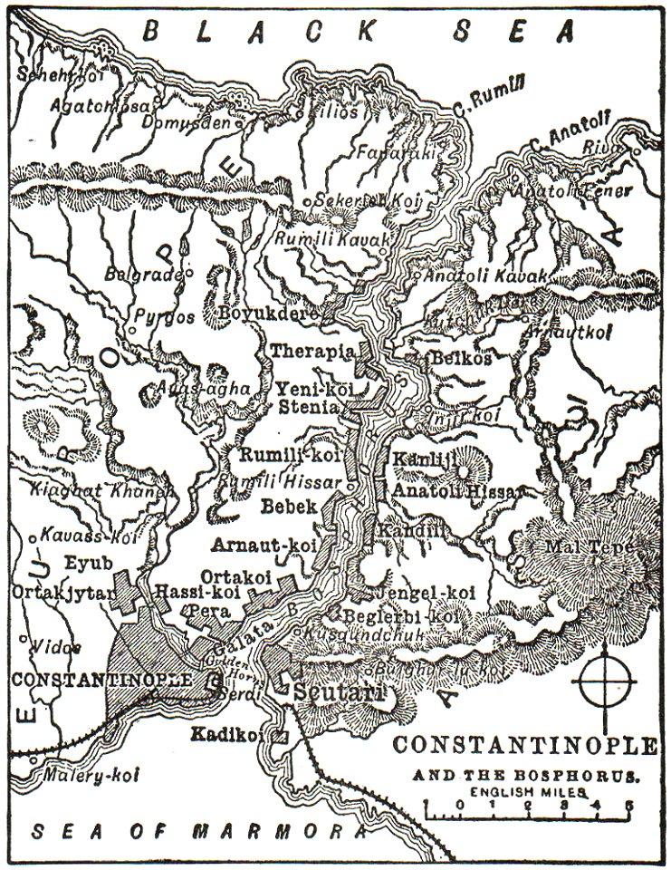
maps of constantinople
geographical illustrations by coronelli
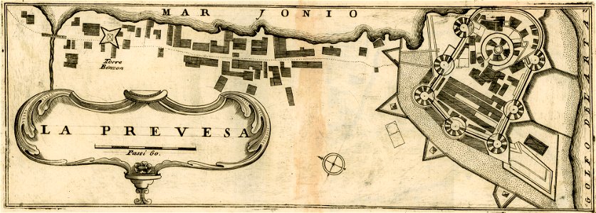
maps of preveza
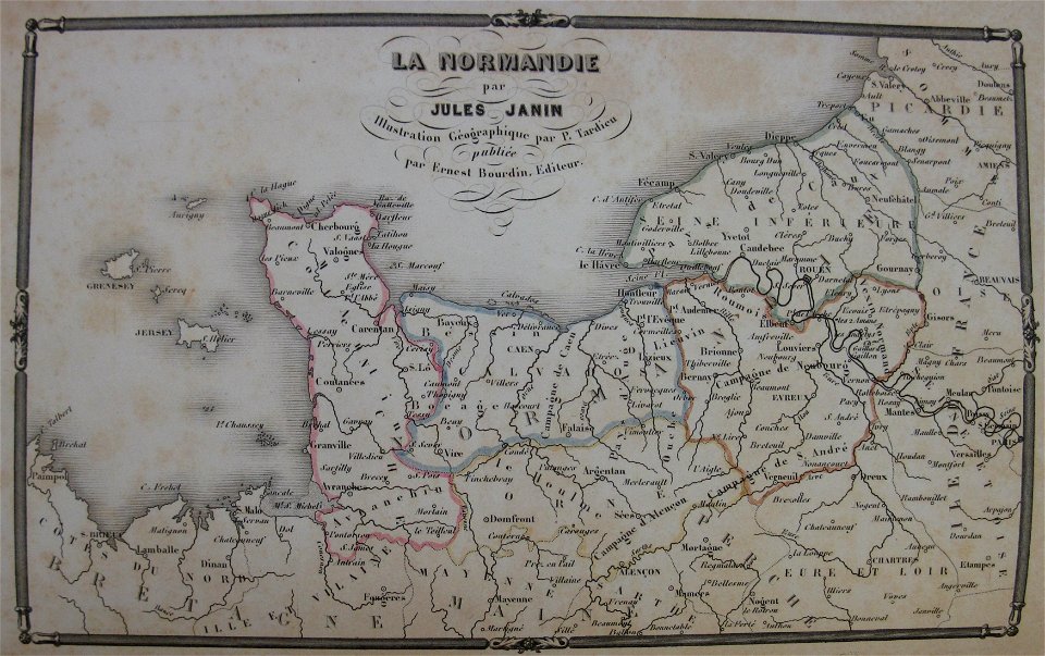
la normandie (jules janin)
alfred johannot
description de l'universe
zanzibar in art
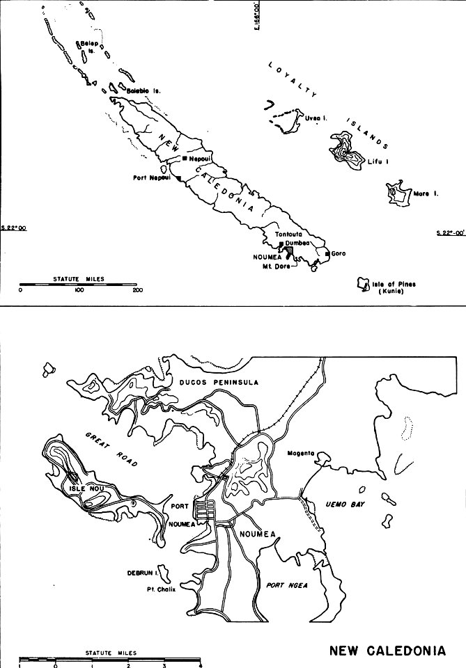
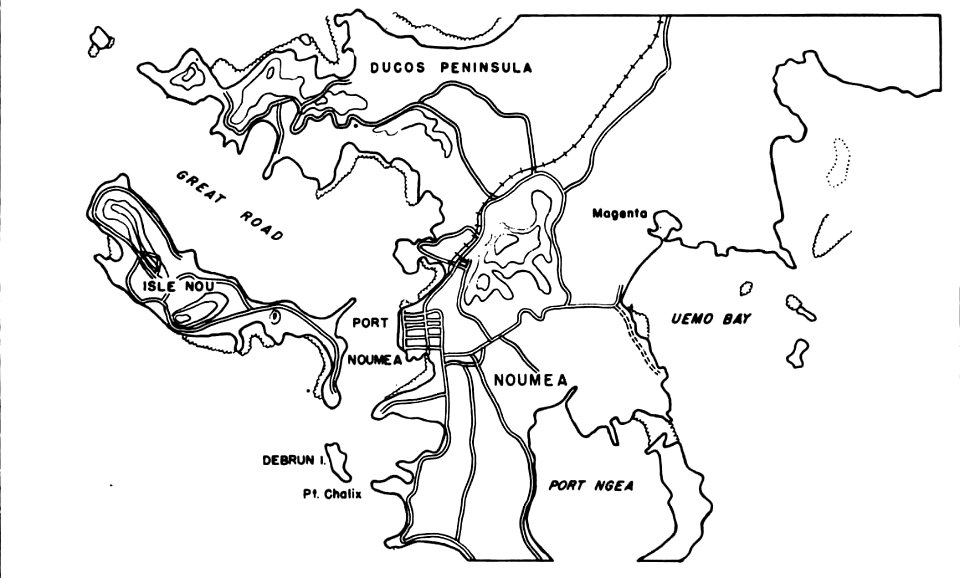
nouméa in world war ii
nouméa
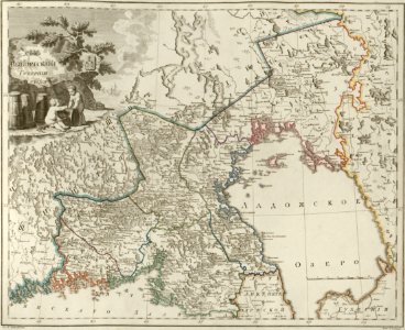
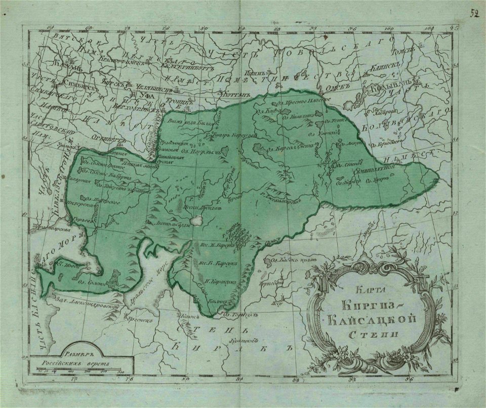
small atlas of the russian empire (1796)
maps of kazakhstan
nouméa in world war ii
nouméa
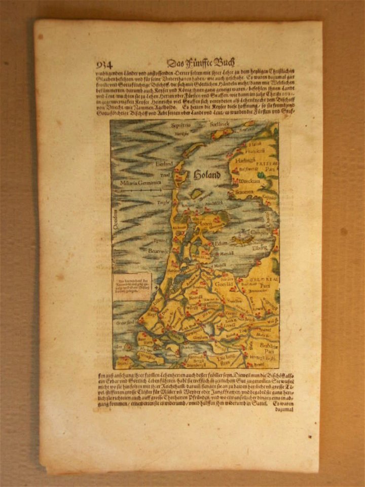
cosmographia (1600) by sebastian münster
1600 maps of the netherlands
bibliothèque municipale de reims
rès. g 152
bibliothèque municipale de reims
rès. g 152
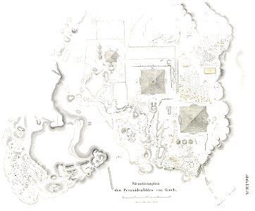
lepsius-projekt - pyramids
plans of giza necropolis
les anciens couvents de lyon
16th-century maps of lyon
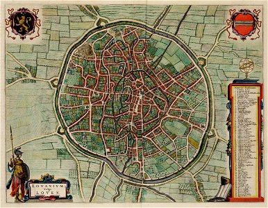
old maps of leuven
atlas van loon
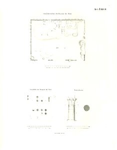
lepsius-projekt - temples
lepsius-projekt - maps
geographical illustrations by coronelli
engravings of igoumenitsa
volume 7 of le tour du monde
maps of nimrud
yamaguchi prefectural archives
maps of yamaguchi prefecture
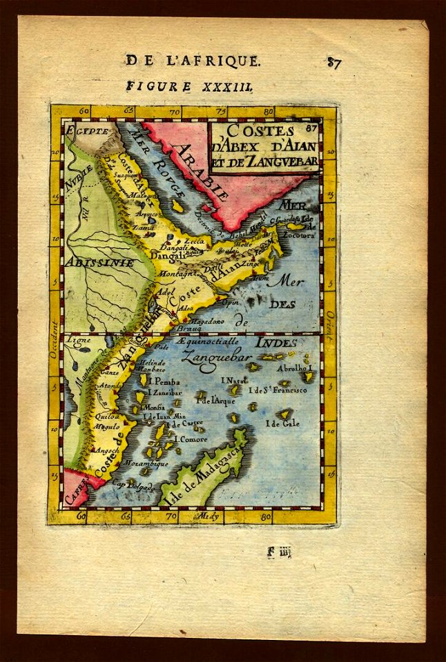
description de l'universe
zanzibar in art
7501 - 7600 of 33,167
Next page
/ 332